
Gallery
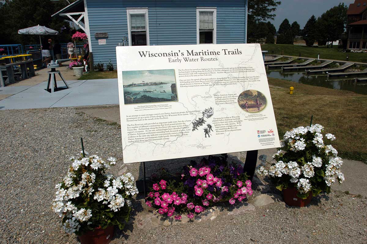
Maritime Trails Marker at DePere Lock
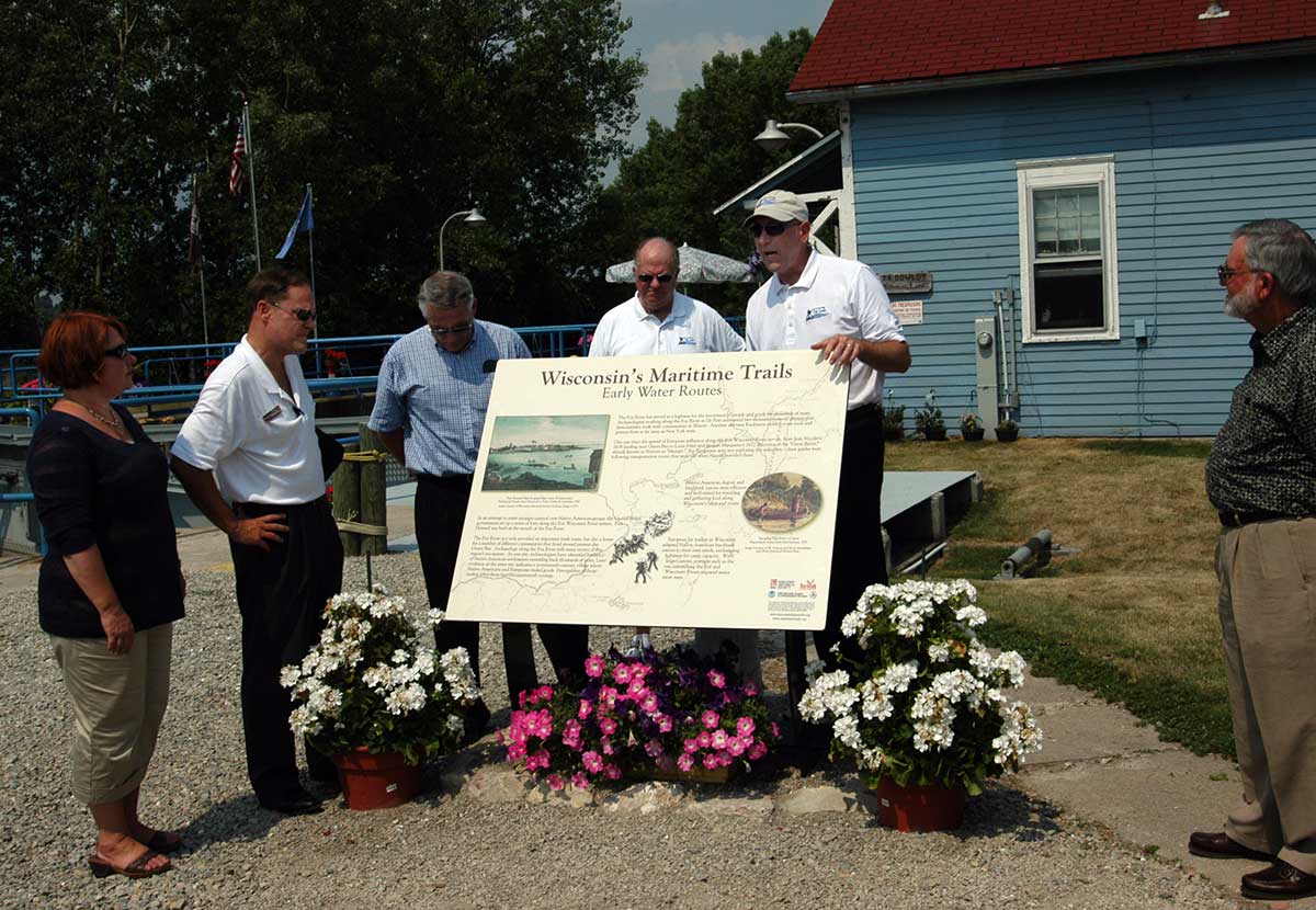
Marker Dedication July 2007
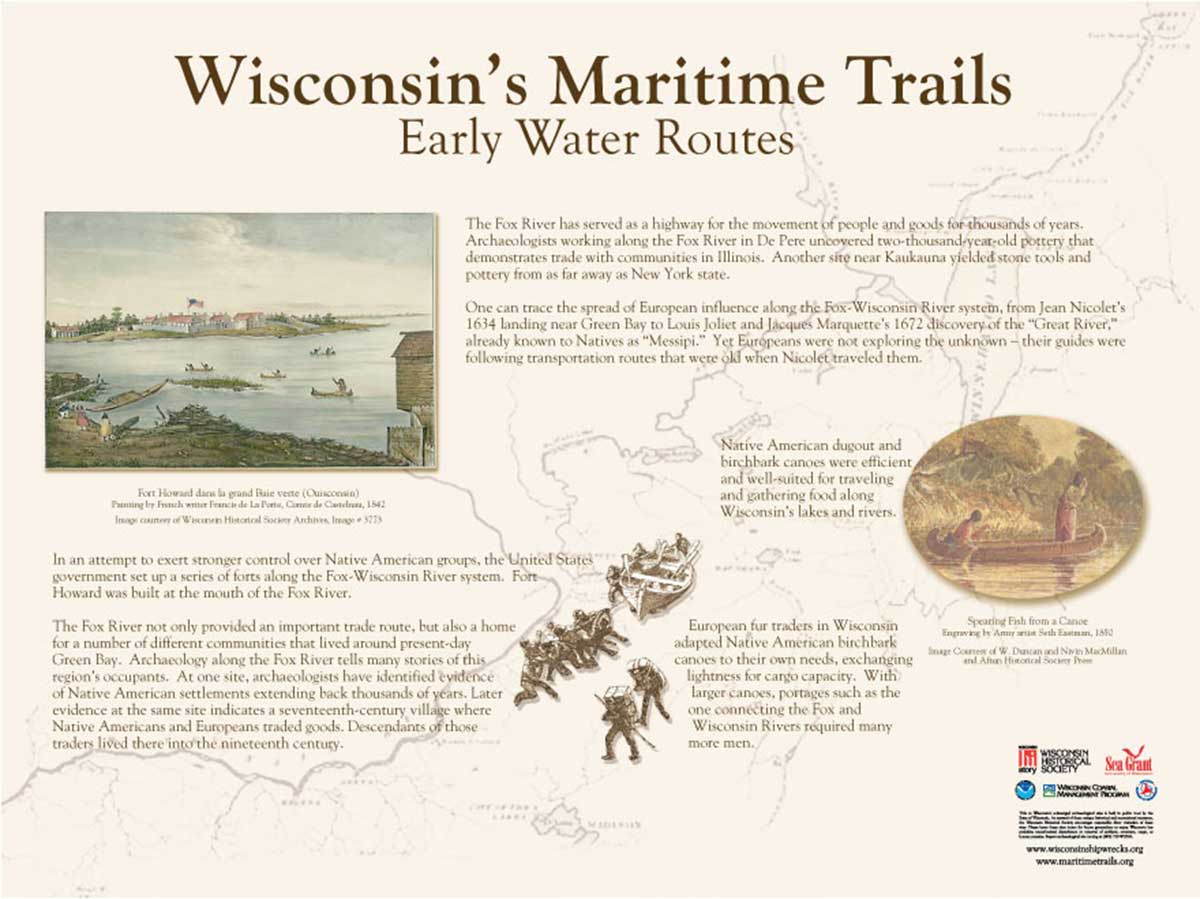
Maritime Trails Marker at DePere Lock